The height of a location above sea level
Credit: Crested Butte Avalanche Center
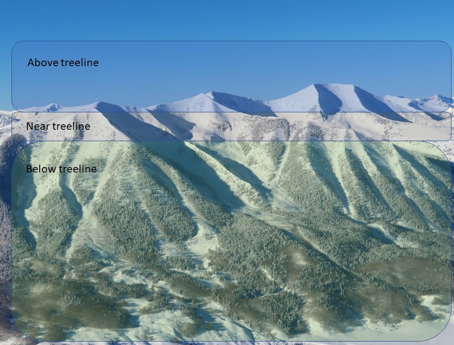
Avalanche hazards often vary with elevation due to differences in snowfall, wind, temperature, and tree cover. You may see reference to a specific altitude (in meters or feet above sea level), or more commonly, forecasters use elevation bands to categorize dangers and avalanche problems. Paying attention to your elevation is essential for managing avalanche hazards; hazards often change with elevation.
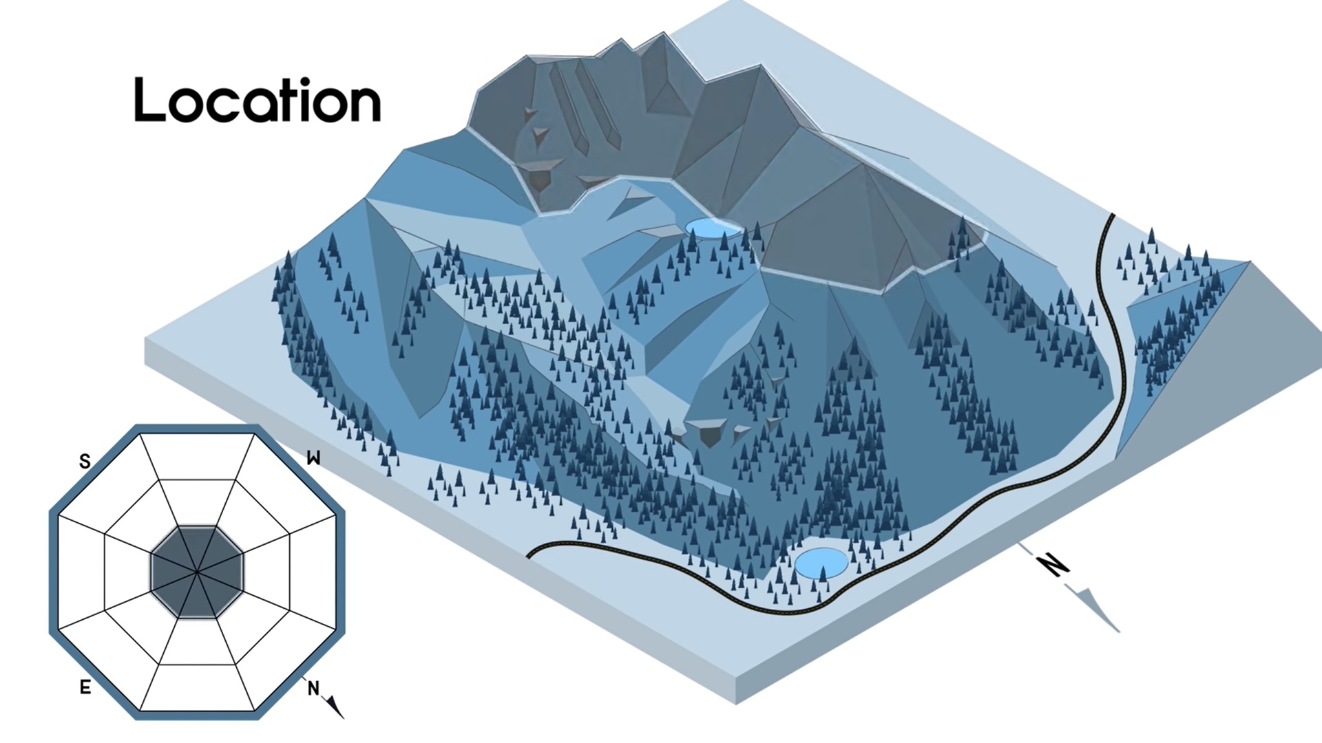
Avalanche forecasts often clump hazards into elevation bands, such as “high elevations” or “above treeline”, as illustrated in this distribution rose and corresponding terrain graphic.
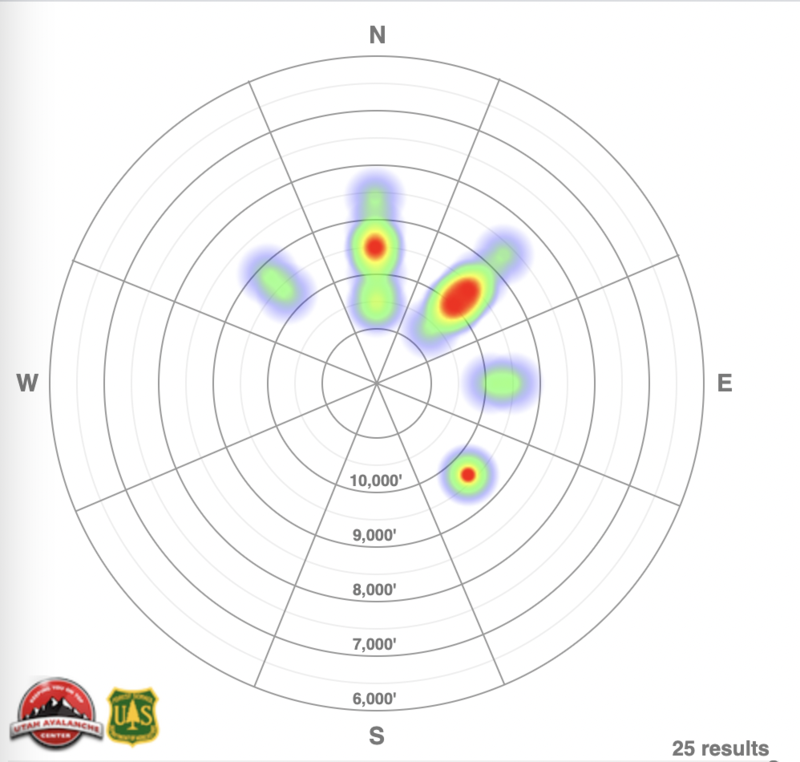
This heat map illustrates the pattern of avalanche activity by aspect and elevation for a given time period. It’s fairly common to see more or larger avalanches at higher elevations in the winter, where snowfall and windloading are most pronounced. Credit: Utah Avalanche Center