A meandering band of strong upper-level winds directing storm systems and air masses across the U.S. from west to east.
Credit: Open Snow
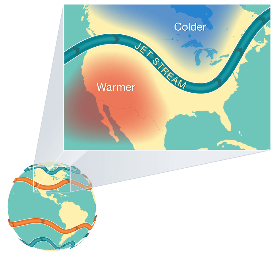
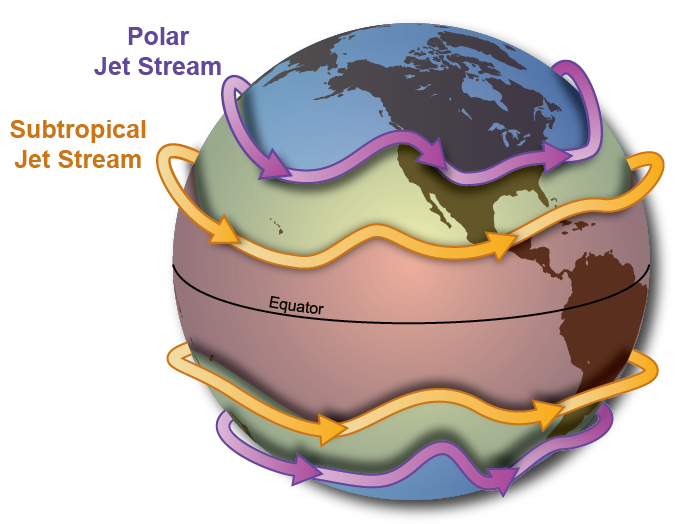
The jet stream is a narrow, fast flowing band of wind at about 30,000 feet above sea level or more in the atmosphere. In the northern hemisphere, the polar jet stream flows from a westerly direction and acts as a meandering boundary between colder, arctic air and warmer subtropical air. As the jet stream moves across the mid and northern latitudes, it directs moisture and storm energy onshore from the Pacific Ocean. Thus, the most intense storms often track along the jet stream’s path. Wind speeds within the jet stream usually range from 100 to 200 mph. A jet streak is a region of the jet with especially strong winds that can significantly enhance snowfall through dynamic lift in the atmosphere. The jet stream also increases surface wind speeds.
This video of upper-level winds illustrates the meandering and variable nature of the jet stream. Credit: Wikipedia
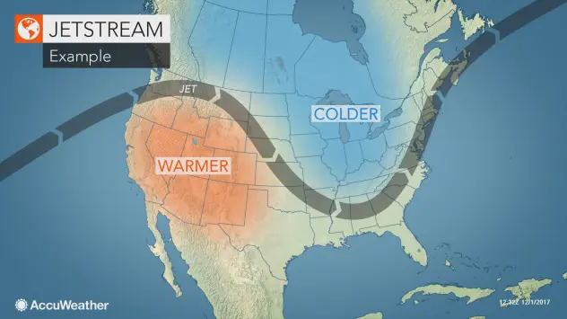
The polar jet stream acts as a meandering boundary between colder, arctic air and warmer, subtropical air. Thus, the position of the jet strongly impacts local weather patterns.
The polar jet stream is the key driver for weather patterns across the U.S. during the winter.