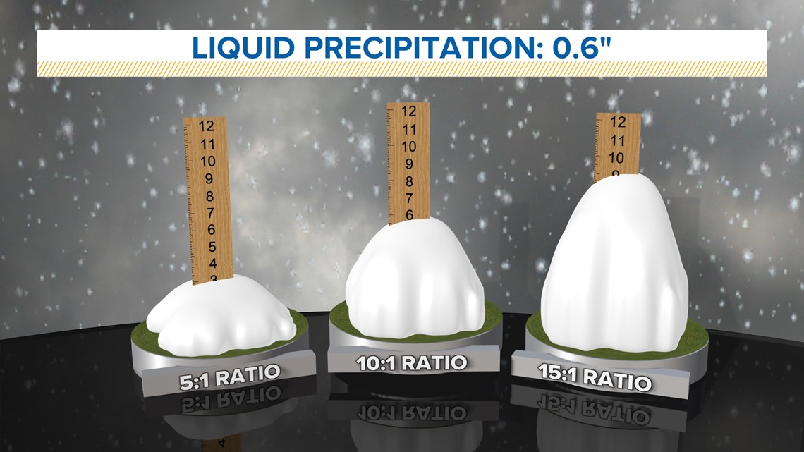
A measurement of how dense new-fallen snow is as ratio of snow to liquid.
Credit: WeareIowa.com
The snow-to-liquid ratio is a quantitative measurement of how fluffy or heavy new fallen snow is. It’s reported as the number of inches of snow that comes from 1 inch of liquid precipitation. Typical snow-to-liquid ratios vary by region and by the weather pattern producing the snowfall. A really wet, heavy snowfall such as “Sierra Cement” could have a ratio of 5-to-1, or 20% density. A “cold smoke” or “blower” powder day with very fluffy, light snow could have a ratio as high as 30-t0-1, or 3% density. Most winter storms fall in between these two ends of the spectrum. A reasonable average is around 12-to-1, or 8% density.
Air temperature, humidity, and wind speed influence how dense new fallen snow is. The highest snow ratios (or lowest density snow) are usually formed by temperatures that are roughly between 0°F and 10°F, in what is called the “Dendritic Growth Zone.” This is the regime for forming large dendrites that accumulate with abundant air space between crystals. New snow grains that are smaller and pack together better form denser snow. Snow that forms outside of the Dendritic Growth Zone regime will be denser, as will snow that falls through warmer layers or is subject to riming. Stronger winds will batter snowflakes together as they fall, which breaks down snow crystals into smaller, denser grains.
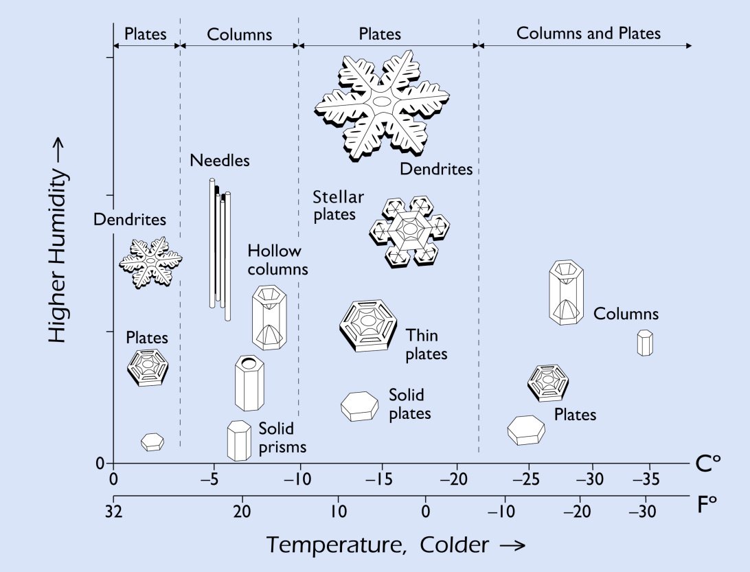
The type of new snow grain, and thus the snow ratio, depends on the air temperature and humidity of the cloud layer where snow is forming. Snow that falls through above-freezing temperatures or gets battered by winds will become denser. Credit: snowcrystals.com