A network of remote snow telemetry sites in the Western U.S.
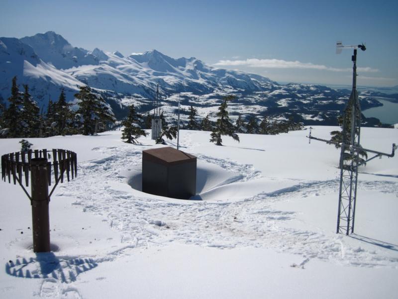
Credit: U.S. Climate Resilience Toolkit
SNOTEL is a network of snow telemetry sites in the Western US operated and maintained by the Natural Resources Conservation Services to forecast water supply, predict floods, and study climate. The information is also a tremendous resource for avalanche forecasters. There are over 900 SNOTEL sites located in mountain locations that record parameters such as snow depth, snow water equivalent, precipitation, and air temperature.
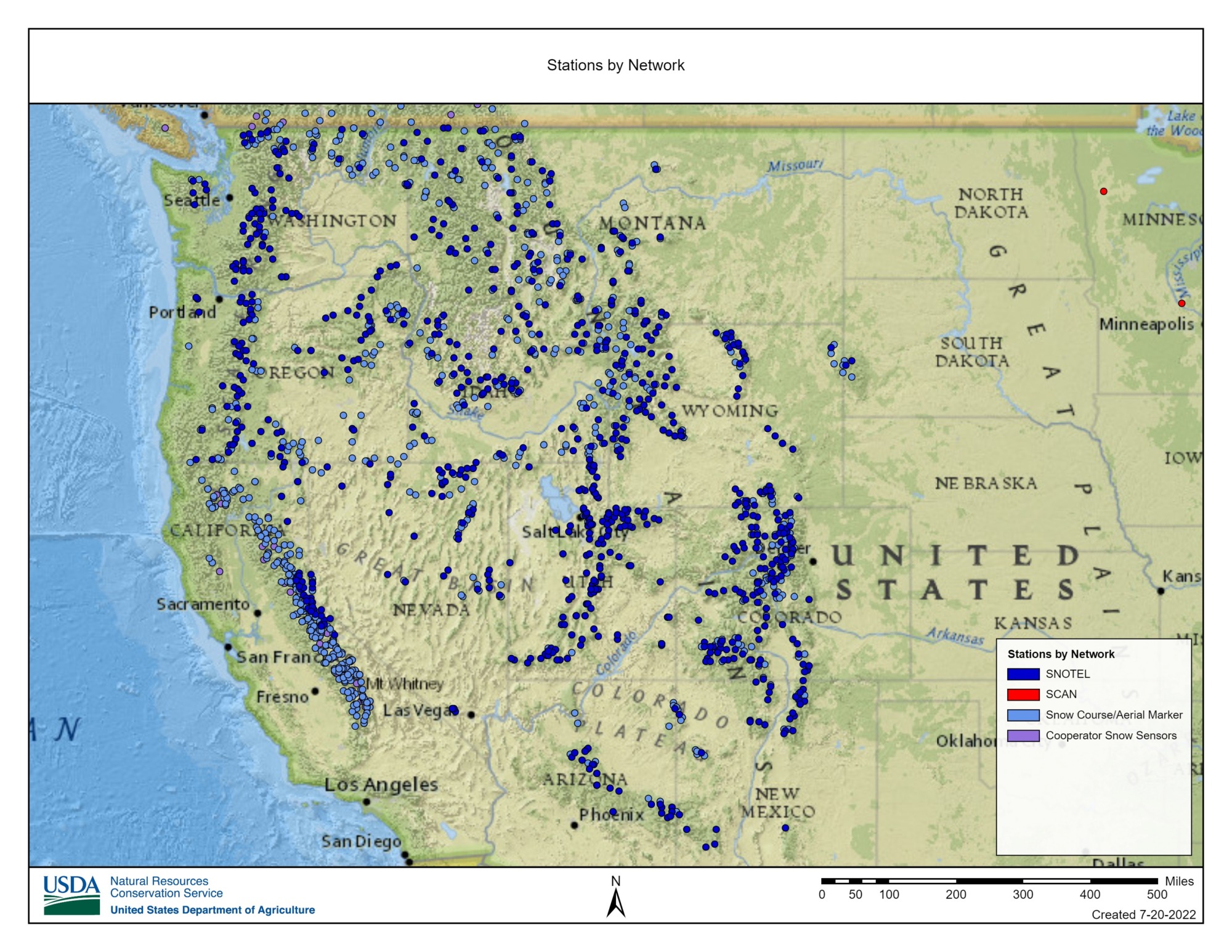
A map of SNOTEL stations across the Western U.S. Credit: Natural Resources Conservation Service