When air temperature increases with height
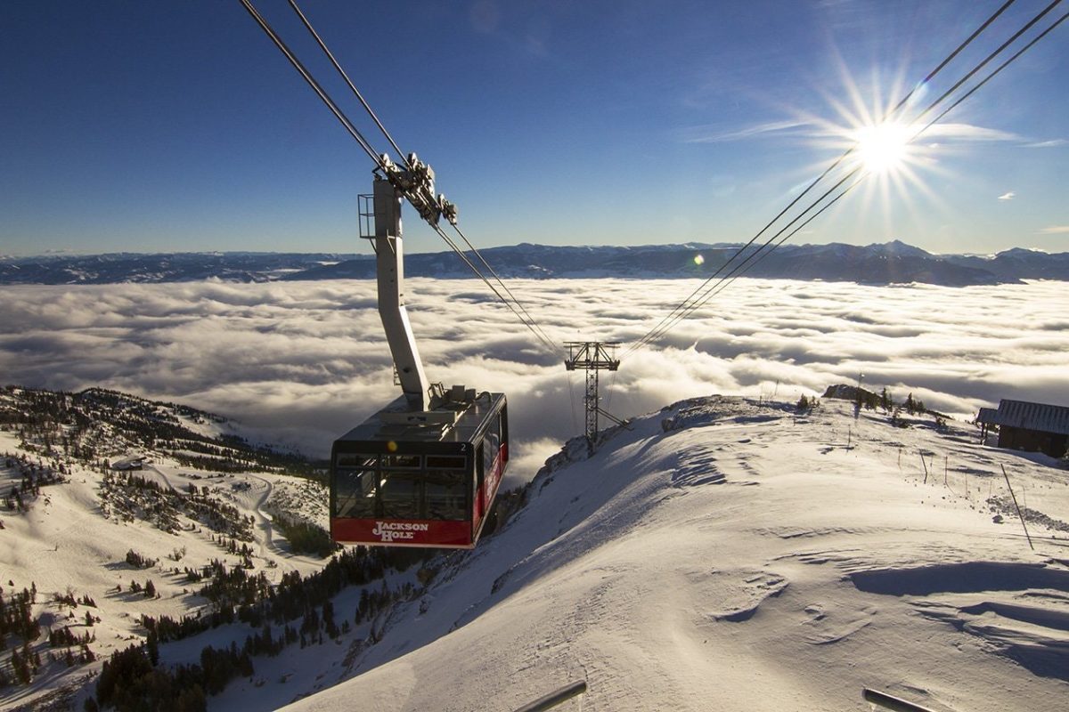
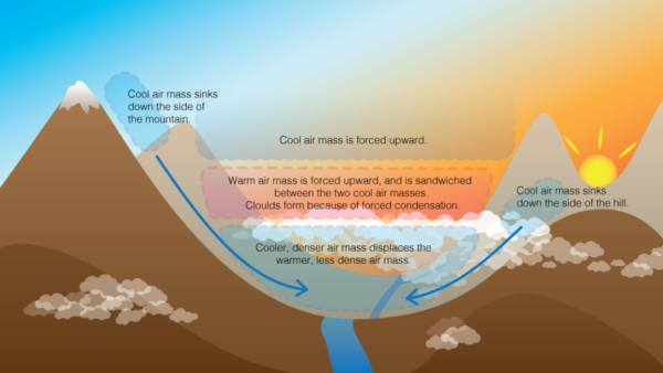
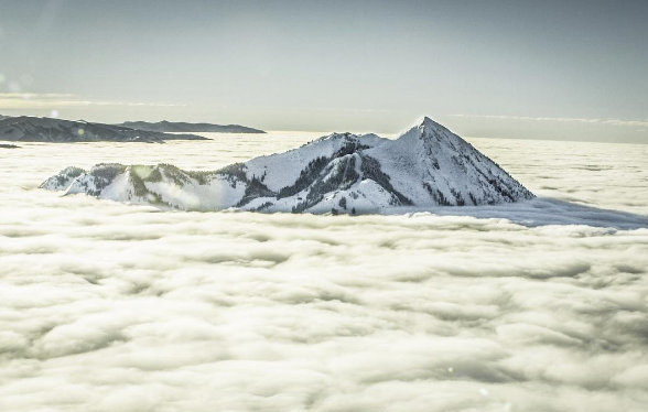
Under typical atmospheric conditions, the air temperature gets colder as you go higher in elevation. An inversion is the reversal of the normal profile, when colder air establishes into lower elevations. In the winter, inversions commonly build during stagnant high pressure systems which block active weather and normal mixing of valley air. During high pressure, clear night skies promote radiative cooling, which causes the snow surface and surrounding air to cool effectively. The colder, denser air sinks throughout the landscape and pools in valley bottoms. Thus, mountain ridges and summits will have significantly warmer temperatures than their adjacent valleys. The pooling colder air has higher relative humidity and may condense into a fog or low-level stratus cloud layer. The stagnant valley air also traps air pollution.
Inversions can have important implications for weak layer formation. The high relative humidity and cold, stagnant air associated with inversions are optimal for surface hoar development. Inversions can form a bath-tub ring pattern of surface hoar near the top of the low-level stratus cloud. As the level of the cloud deck fluctuates throughout the course of the day and night, it paints a broader distribution of surface hoar. The colder air pooling at lower elevations also enhances near-surface faceting by producing stronger temperature gradients at the snow surface. For these reasons, inversions can cause weaker snow layers to form at lower elevations.
Inversions can also influence wet avalanche conditions. The same high pressure systems that cause strong temperature inversions can also cause warm-ups that spur wet avalanche activity. Don’t be fooled by colder air temperatures or solid refreezes near valley bottom. As you gain elevation into warmer air, you may encounter decreasing stability and a greater threat of wet avalanches.


