A cool, wet weather system that is cut off from the main atmospheric flow.
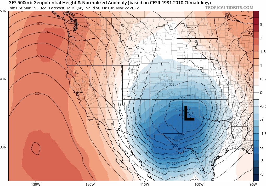
A pressure map showing a closed low centered over the Texas Panhandle. Credit: Tropical Tidbits
A closed or cutoff low is a low pressure system that has separated from the typical oscillating flow pattern in the atmosphere. Closed lows are a unique low pressure system in that their isobars, and associated flow, completely encircle the center of the low. This has important implications because easterly winds develop to the area north of closed lows, the opposite direction from the typical westerlies associated with low pressure troughs. Because of this, closed lows can produce atypically large snow events in mountainous areas that don’t normally get much snow. For example, the foothills surrounding the Denver area are relatively dry during typical winter patterns, but closed lows that pass through southeastern Colorado are responsible for “upslope” storms that can produce several feet of snow or more on the east slope of the Continental Divide. Because closed lows are cut off from the normal atmospheric flow, they may move more slowly and weather models sometimes have a harder time predicting their exact movements.
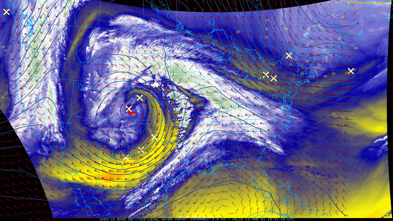
Satellite imagery of a closed low centered over Southeast Colorado, with the associated upslope flow directed into Wyoming and Colorado east of the Continental Divide. Credit: College of DuPage Nexlab
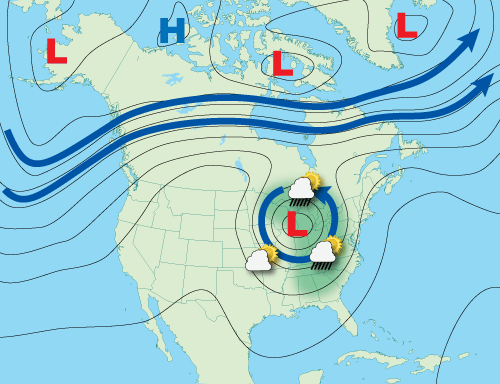
A closed low is cut off from the main atmospheric flow. These weather systems can wobble slowly or stall out as they move across the country, bringing prolonged periods of unsettled weather to a region.
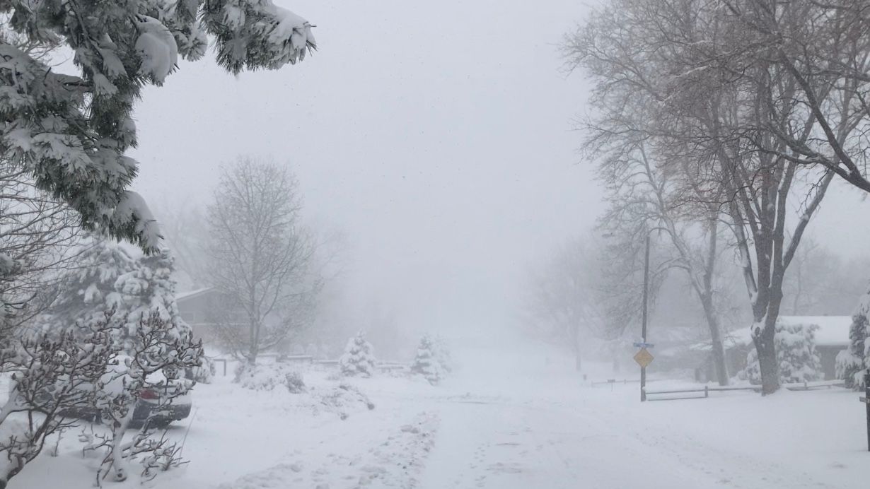
A closed low that stalled over Colorado in March, 2021 brought over 2 feet of snow to Denver and the Front Range foothills in an upslope event. Credit: Weather5280