A weather system that produces snowy, unsettled weather.
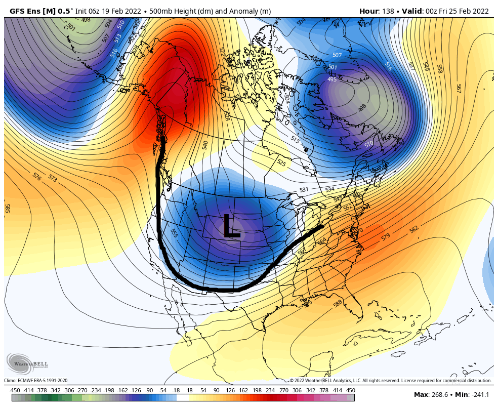
A pressure map showing a longwave trough over the Western U.S. Credit: Weather Bell
Low pressure troughs are weather systems that produce snowy, unsettled weather. Global winds generate wavy atmospheric flow patterns, forming ridges and troughs of atmospheric pressure. On a weather map that shows upper level atmospheric pressure, a low pressure trough is the U-shaped portion of a wave. Longwave troughs are a broad-scale feature: they can span most of the US. Shortwave troughs are minor waves embedded in larger features: they often span the area of a US state or less. Troughs direct cooler, unstable air over a region, often trailing an associated cold front with them. The leading edge of the trough, where the cold front is located, is the most active part of the system and is where the heaviest snowfall commonly occurs.
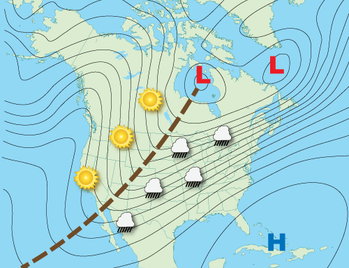
The most active weather is typically at the leading edge of the trough, where the associated cold front is located. Credit: National Oceanic and Atmospheric Administration

A common wavy atmospheric pattern produces a high pressure ridge, trailed by a trough of unsettled weather, followed by a ridge of fair weather, flowing from west to east over the U.S. Credit: Tropical Tidbits
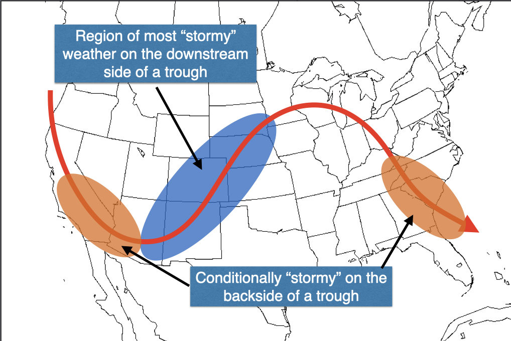
Trough passage is commonly characterized by strengthening winds out of the southwest and stormy weather at the leading edge of the trough. Cooling follows on the backside of the trough, along with the potential for orographic snow showers and/or gusty northwest winds. Credit: Open Snow